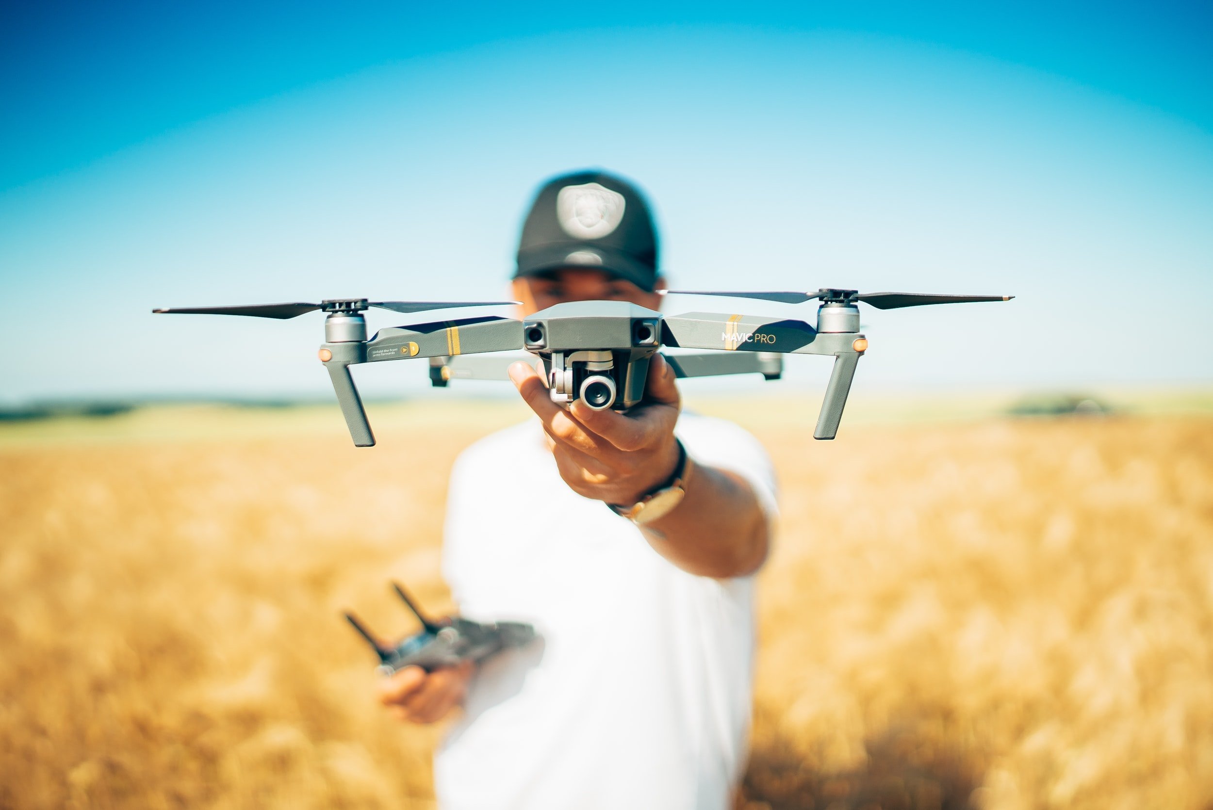
Drone Services
Let Spectrum Environmental be your eyes in the sky!
Across all of our service lines and industry sectors, Spectrum Environmental supports field activities through the provision of UAV/Drone services. Our FAA-certified drone pilots have successfully completed aerial imagery gathering for a variety of industrial and consulting projects including:
Open-top tank evaluations
Stockpile evaluations and volume measurements
Large tract property due diligence assessments
Pre-disturbance Property Condition and Sensitive Receptor documentation
On-going project Status photo/video capture
Wildlife habitat assessments
3D modeling and contour mapping
Why use drones in your next industrial or consulting project?
Accessibility: Drones can access difficult-to-reach or remote areas, such as wetlands, dense forests, and rugged terrains, allowing personnel to gather data from client locations that are otherwise difficult to access.
Real-time monitoring: The use of drone technology allows for collection of data in real-time, allowing emergency responders to monitor and respond to environmental conditions as they change in response to hazardous material spill events or natural disasters.
Versatility: A variety of sensors can be attached to drones, allowing for the collection of a wide range of data such as imagery, topographical data for 3D modeling and contour mapping, air quality data, and temperature measurements.
High-resolution images: Drones can capture high-resolution images of a client’s facility or property, thereby gathering detailed environmental information. This level of detail can be crucial for monitoring the health of a property’s ecosystem over time, detecting changes in land use, or assessing the impact of activities that may disturb the local environment.
Reduced environmental impact: Using drones allows employees to collect data without causing significant disruption to wildlife or ecosystems. The same cannot be said for more traditional methods of gathering environmental data, which may include disturbing habitats or using vehicles that emit fossil fuel pollutants.
Cost-effectiveness: Compared to traditional survey methods like ground surveys and manned aircraft, drones require fewer resources and less money to operate while quickly and efficiently surveying large areas.
Safety: Using drones eliminates the need for employees to physically access hazardous or unsafe environments, reducing the potential for injuries or accidents.


